Maps Used By Rescue 116 Crew Had Incorrect Details And Lifejackets Not Fit For Purpose
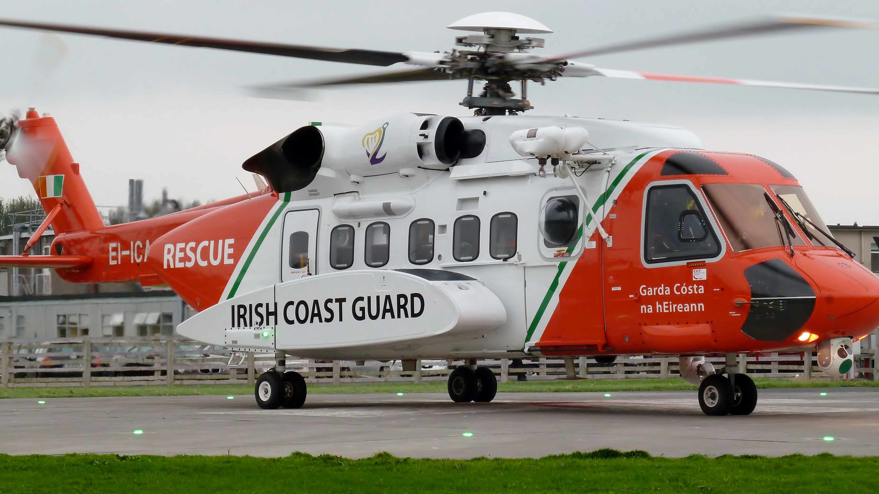
Maps used by the crew of Rescue 116 were blurred and contained incorrect details about Blackrock Island.
RTÉ's Prime Time discovered that the height was hidden behind the location code in the helicopter's moving map, while a trial ipad map showed it as 46ft instead of 282ft.
Search and rescue crews had previously complained about poor quality maps.
The investigation also found that there were repeated warnings that the lifejackets were not fit for purpose.
Search and rescue pilot David Abad told Prime Time that the inaccurate map details would have been confusing:
More from Cork
-
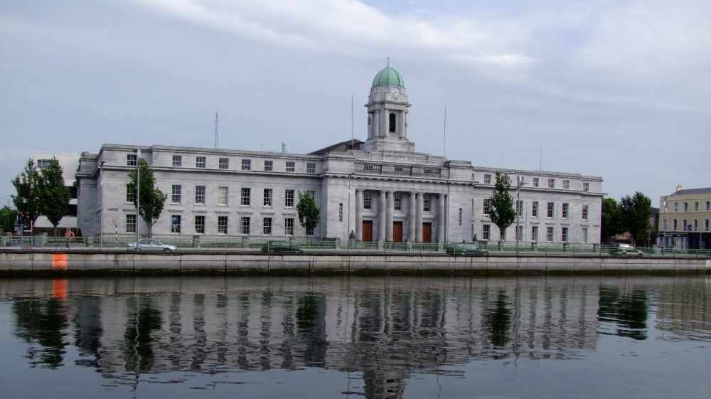 Lord Mayor Of City Felt Privileged To Represent Cork During Such A Difficult Time As He Faces Into Last Month In Office
Councillor Joe Kavanagh will be handing over the mayoral chains outside of City Hall for the first time ever on June 18th due to the pandemic
-
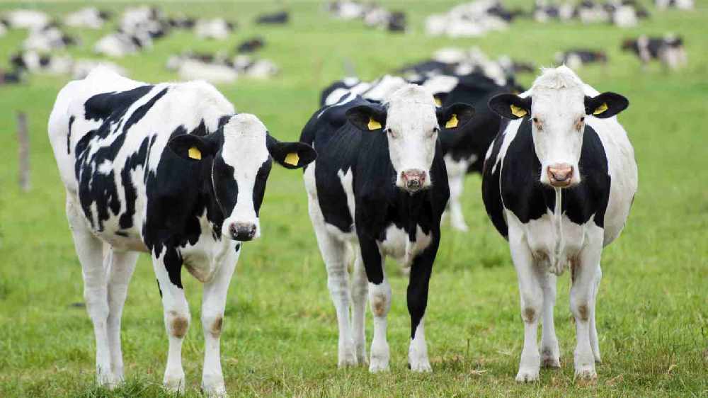
 Expert calls for people to reduce meat intake
Eating too much meat can increase the risk of serious illnesses by as much as 30%.
-
 International Care Day Is Being Celebrated At The Bessborough Centre In Blackrock Today
The event highlights the positive impact of the experience of young people in care
-
 UPDATE: Teenage Girl Killed And Three Teenage Boys Injured In Knocknaheeny Crash
It's understood the teenage driver of the car fled the scene on foot
-
 Angry Farmers To Stage Protest Outside Aldi in Mitchelstown Later
They're appealing to retailers to come to the talks table
-
 UPDATE: Toddler Who Was Injured At Her Home On The Boreenmanna Road Has Died
The two year-old was rushed to hospital with traumatic head injuries